Trnava Region
| Seat | Trnava |
| Area: | 4,174.2 km² |
| Population: | 554,172 |
| Density: | 133 /km² |
| Districts: | 7 |
Trnava region is situated in western part of Slovakia and is borderign with Czech Republic, Austria and Hungary. It is divided into 7 districts: Trnava, Dunajská Streda, Galanta, Hlohovec, Piešťany, Senica a Skalica. It has a very strategic location towards the capital of Slovakia, Bratislava. Southern part of Tranava Region is a part of Podunajsko area formed around Vienna – Bratislava – Göyr.
Natural Conditions of Trnava Region
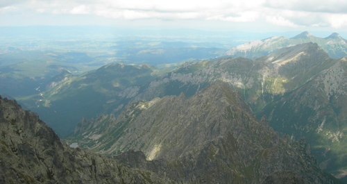
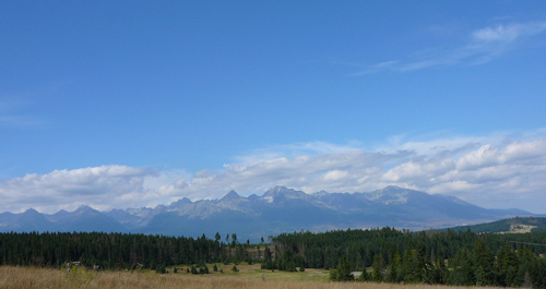
Záhorská and Danubian lowlands form great part of the Trnava District. They are separated by beautiful Little Carpathian Mountains. Little Carpathians are not the only mountain range leading across the Trnava District. Považský Inovec on the North-East, Dolnomoravský Ravine on the West, Myjava Upland and White Carpathinas on the North-West reach deep into its territory. Lowlands fall into the warm climate zone and mountain ranges into the temperate one. Due to good climatic conditions Trnava District ranges among the most agriculturally productive Slovak regions. Loess mountainous areas are covered by fertile black soils and areas along river courses by river flood plains. Záhorská Lowland formed by sands dunes is mostly covered by pine tree forests. Váh River divides the district more or less into two halves. The west one is drained by Morava and Myjava rivers, and southern regions are drained by Váh, Little Danube and Dudváh rivers. Morava and Little Danube rivers are also known for flood-plain forests growing along their river courses. Not only Little Carpathians Protected Landscape Area, White Carpathians and Záhorie Region form part of the Trnava District. One can find there tens of natural reserves and protected landscape areas.
Trnava Region is divided into 7 districts
- Trnava
- Dunajská Streda
- Galanta
- Hlohovec
- Piešťany
- Senica
- Skalica