Nitra Region
| Seat | Nitra |
| Area: | 6,343.4 km² |
| Population: | 708,498 |
| Density: | 112 /km² |
| Districts: | 7 |
Nitra region is situated in the south-west part of Slovakia. The river Danube, flowing in the southern part of Nitra region, forms a natural border with Hungary. Nitra regions has numerous Hungarian minority in the southern districts. Nitra retgion is divided into 7 districts. Nitra, Topoľčany, Zlaté Moravce, Levice, Nové Zámky, Komárno, Šaľa.
Natural Conditions of Nitra Region
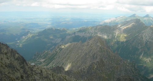
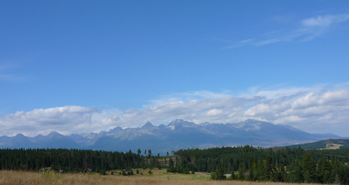
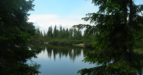
Nitra District is characteristic by fertile lands and rich reserves of mineral (Santovka, Slatina) and thermal waters (Komárno, Patince, Štúrovo). The soil composition of this southern part of Slovakia is quite complex: black, brown, brown forest and flood-plain soils. However the Nitra District territory is mostly deforested and used for agricultural production, there are several important protected landscape areas with impressive natural reservations: Burda, Štiavnické Mountains and Ponitrie. European bison farm in Topoľčianky, Arboretum in Tesárske Mlyňany and protected bustard population in Zlatná on Rye Island are just few examples of natural treasures of the region. Danubian Lowland extends on the South; northern regions are more mountainous, formed by core and volcanic mountain ranges: Považský Inovec, Tríbeč, Pohronský Inovec, Štiavnické Mountains, Krupina Plain and Burda. They fall into the temperate climate zone. On the other hand, Nitra District lowlands represent the hottest Slovak regions, especially Komárno and Nové Zámky. The district is lined with same-named Nitra River. Váh, Hron, Ipeľ and Danube rivers also flow thorough the region.
Nitra retgion is divided into 7 districts
- Nitra
- Topoľčany
- Zlaté Moravce
- Levice
- Nové Zámky
- Komárno
- Šaľa