Nitra
Find out more about Nitra
| Region | Nitra region |
|---|---|
| Location | Western Slovakia |
| Inhabitants | 87,357 |
| Area | 108 km2 |
| River | Nitra river |
| City parts | Čermáň, Zobor, Klokočina, Chrenová, Staré mesto, Diely, Dolné a Horné Krškany, Janíkovce, Mlynárce, Párovské Háje, Šúdol |
| Transportation | train, bus |
| Distance from Bratislava | 90 km |
Nitra is one of the largest and most important county towns in Slovakia. It lies on the Nitra River, in the north-eastern part of the Danubian Lowland.
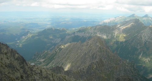
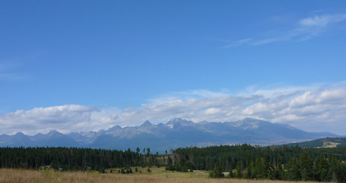
The city is located in western Slovakia, housed on several low hills: the Castle Hill, the Calvary, Šibeničný Hill (Gallow Hill), Katruša, etc. The 1925 ft (587m) Zobor Mountain, Tríbeč Mountain´s last hill, overlooks the city from the North.
Nitra became well-known in the times of the Great Moravian Empire, but its settlements go back as far as the prehistoric times. The first written record dates to 870 and ten years later it was already called Nitra. The city served as the Nitra principality’s centre in the ninth century.
Nitra has often been called “the cradle of Christianity” as it has always been the centre of culture, education and Church. The first Christian Church on Slovak territory was also consecrated here.
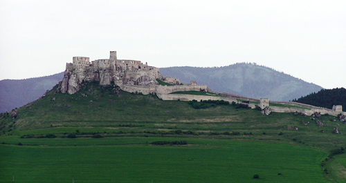
The Nitra Castle with the Cathedral and Pribina Square are located in the historical part of the city. Nitra houses two universities and provides well organized cultural and social life filled with many interesting events that are worth to see.
Andrej Bagar Theatre and Ponitrianske Museum dominate the Svätoplukovo Square at the end of pedestrian zone on Štefánikova Street.