Trenčín Region
| Seat: | Trenčín |
| Area: | 4,501.9 km² |
| Population: | 600,386 |
| Density: | 133 /km² |
| Districts: | 9 |
Trenčín region is situated in western part of Slovakia and is divided into 9 districts: Trenčín, Bánovce nad Bebravou, Ilava, Myjava, Nové Mesto nad Váhom, Partizánske, Považská Bystrica, Prievidza a Púchov. In the noth-west past it is bordering with Czech Republic and has a strategic location towards southern Morava.
Natural Conditions of Trenčín Region
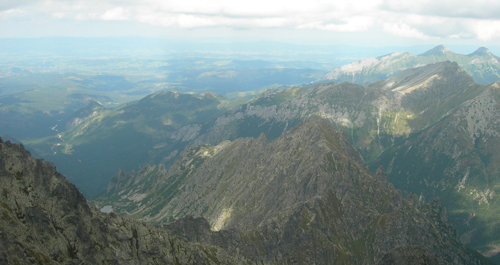
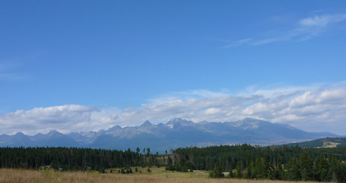
Trenčín District is quite mountainous, covered by oak, hornbeam, beech and spruce forests. It is mostly covered by brown forest soils, rendiznas in the limestone areas and flood-plain soils along the water courses. Volcanic mountain range Vtáčnik and Žiar Mountains reach deep into its territory. White Carpathians and Javorníky flysch mountain ranges line the district on the West; the South is lined by Little Carpathians and Myjava Upland. Hornonitrianska Basin and Danubian Upland are separated by mounds of Považský Inovec. Climatic conditions are quite various due to significant altitude differences. Uplands and lower situated parts of the Trenčín District fall in the warm climate zone and mountain ranges into the temperate and colder ones.
Trenčín District is rich in mineral and thermal waters (Trenčianske Teplice, Nimnica, Bojnice). It is lined by two important Slovak rivers: Váh and Nitra rivers. Little Carpathians, Ponitrie, Strážovské Mountains, White Carpathians and Javorníky mountain ranges are all part of the Trenčín District. Vršatecké bralá and Manínska Ravine are its best known reservations.
Trenčín Region is divided into 9 districts:
- Trenčín
- Bánovce nad Bebravou
- Ilava
- Myjava
- Nové Mesto nad Váhom
- Partizánske
- Považská Bystrica
- Prievidza
- Púchov