Trenčín
Find out more about Trencin
| Region | Trencin region |
|---|---|
| Location | Western Slovakia |
| Inhabitants | 58,872 |
| Area | 82 km2 |
| River | Váh river |
| City parts | Stred, Juh, Sever, Západ |
| Transportation | train, bus |
| Distance from Bratislava | 121 km |
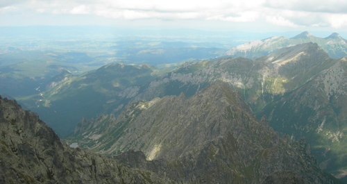
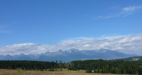
County town Trenčín is the administrative and cultural-historical centre of the Považie region. It is situated in western Slovakia, close to the Czech borders. City’s sea level fluctuates in the limit of 669 – 688 ft (204-210 m). Trenčín borough straddles the Váh River. Brezina headland located at Strážov Mountains foothills stretches deep into the town’s territory.
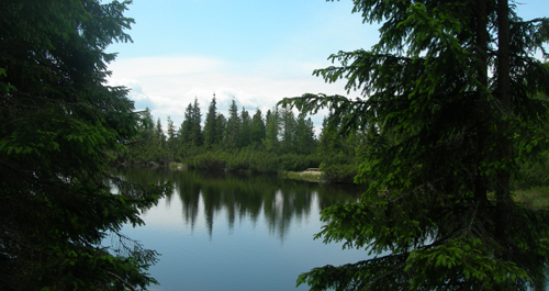
Brezina woods, however located in the city area, are characteristic by their hard accessibility. The Trenčín Castle rock forms part of their territory. Their close proximity to the city centre gives to the local residents and tourists a great opportunity for mental and physical relaxation.
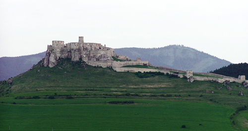
Trenčín is a beautiful town with plenty of appealing sites to fascinate and interest any visitor. It ranks among the most interesting historical towns in Slovakia. Besides the city Castle situated in the centre, there are many other precious historical monuments to see. The first settlements date to the Early Stone Age. The most important epigraphic monument in Central Europe is an inscription from 179 A.D. on today’s rock below the Castle. Up to the present time it has been reminding us of the 2nd Roman legion’s victory against Germanic tribe called Quadi.
Since the eleventh century Trenčín had been housing for several centuries the Kingdom of Hungary’s royal administration office and also served as the royal family residence.