Košice
Find out more about Kosice
| Region | Kosice region |
|---|---|
| Location | Eastern Slovakia |
| Inhabitants | 240,915 |
| Area | 242 km2 |
| River | Hornád river |
| City parts | Staré mesto, Barca, Dargovských hrdinov, Juh, Košická Nová Ves, KVP, Luník IX, Nad Jazerom, Poľov, Vyšné Opátske, Šebastovce, Ťahanovce, Západ, Šaca, Sever, Pereš, Myslava, Lorinčík, Krásna, Kavečany, Džungľa |
| Transportation | tram, trolleybus, bus, plane |
Košice ranks the second among the Slovak towns in its importance and size just after the capital city. It is an important East Slovakia historical and economic centre. The city lies very close to the border with Ukraine, Hungary and Poland at 682 ft (208m) above sea level.
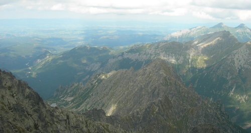
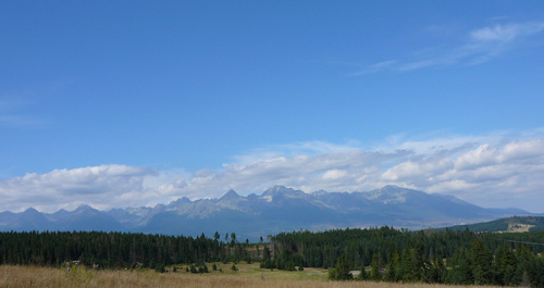
Košice is located in the Košice Basin. Slovak Ore Mountains, specifically its subdivision of Čierna Hora Mountains, reach deep into the city area. Its highest peak 1528 ft (466 m) Hradová Hill is also the town’s highest peak.
Despite the fact that this territory was already inhabited in the Palaeolithic the first written record dates to 1230.
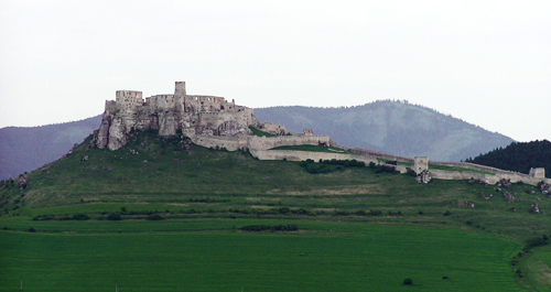
The vineyards cultivation and wine trade represented the major source of income and prosperity of the city and its inhabitants as they owned the famous Tokaj area. Historical monuments are situated on Hlavná Street and on the square originally constructed in the Middle Ages. Košice’s most precious historical monument is St. Elizabeth Cathedral. It was constructed in times of the king Matthias Corvinus. St. Urban Tower and the Early-Gothic Dominican Church constructed in the thirteenth century are also significant.