Prešov
| Region | Prešov region |
|---|---|
| Location | Eastern Slovakia |
| Inhabitants | 92,687 |
| Area | 70 km2 |
| River | Torysa river, Sekčov river |
| City parts | Cemjata, Šarišské Lúky, Vydumanec, Solivar, Šalgovník, Nižná Šebastová |
| Transportation | bus, trolejbus, train |
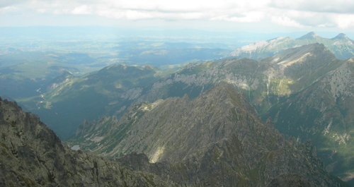
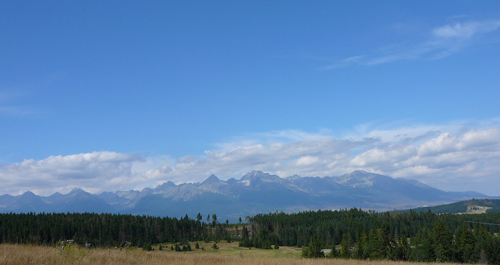
Prešov lies at 836 ft (255m) above sea level, in the northern part of Košice Basin. It is surrounded by Slánske Hills and Šariš Highland.
It is the third most populated Slovak town. The first written record dates to 1247. During the twelfth and the thirteenth centuries, people of three nationalities- Slovak, Hungarian and German, inhabited the region.
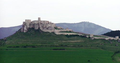
Industrial development in the twentieth century started a noticeable economic and cultural boom. Among historical monuments worth admiration belong well preserved city walls and sacral buildings or noblemen’s mansions built in sixteenth and seventeenth century. Prešov houses the University of Prešov. You can visit theatres, cinemas or galleries.